
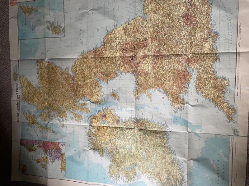
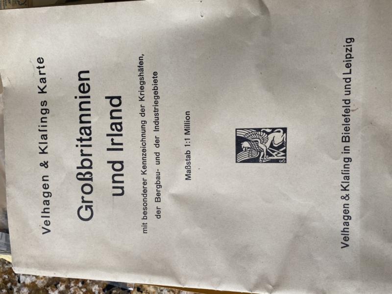
1930’s PRE-WAR WARTIME LARGE GERMAN MAP OF GREAT BRITAIN AND IRELAND.
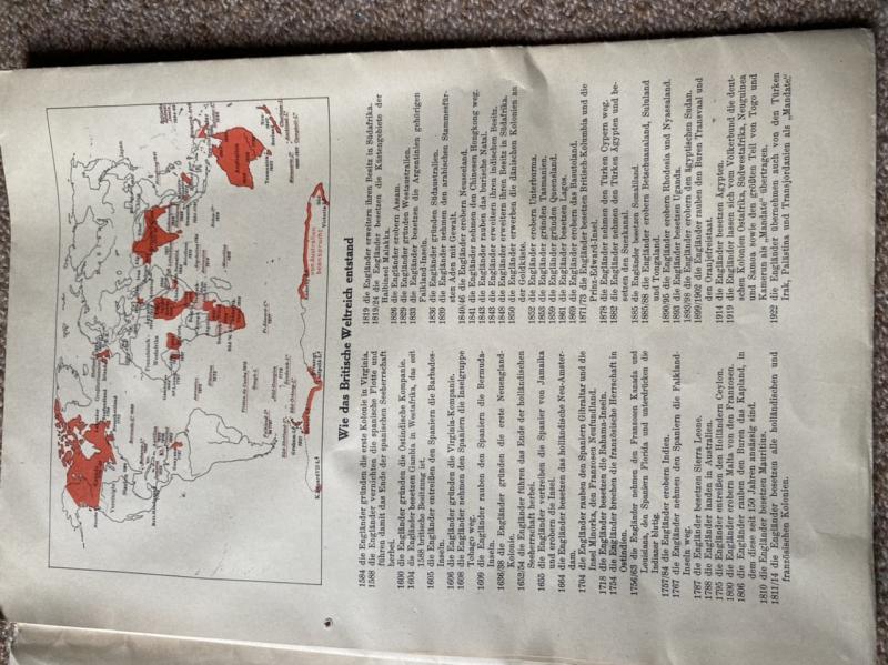
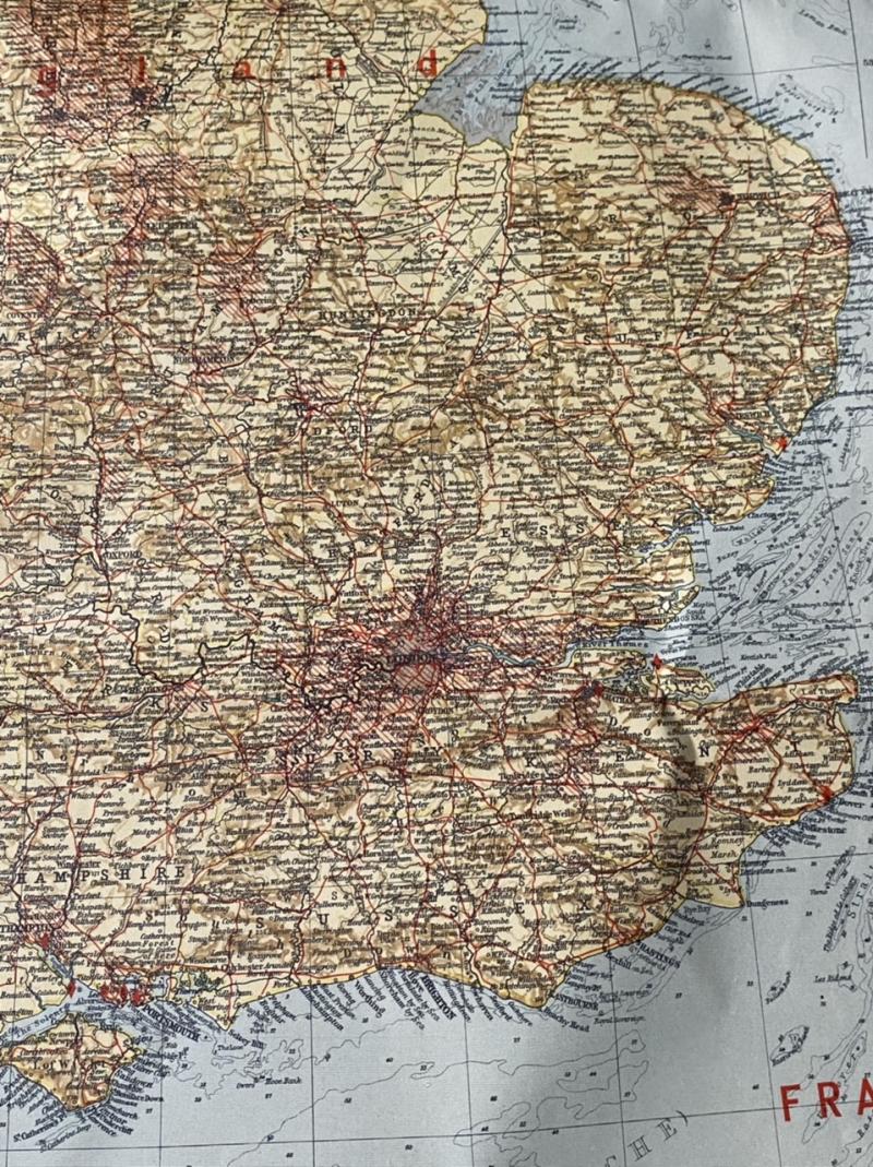
WW2 large paper map of the British Isles and Ireland. Folds down to approximately A4 size. In near perfect condition. Much information contained on the inside covers. The map is titled ‘ A map of Great Britain and Ireland with special identification of military harbours, mining and industrial areas.‘. Issued by Velhagen and Klasing was a major publishing company in the 19th and 20th centuries.Great detail, great colour. A real historical document.
Code: 9764