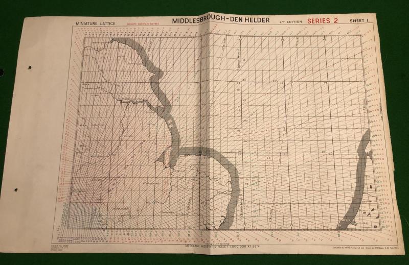
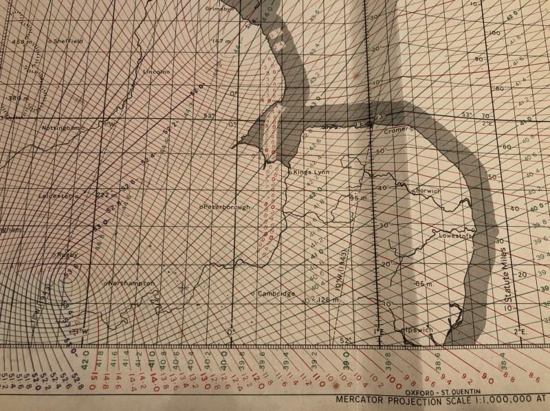
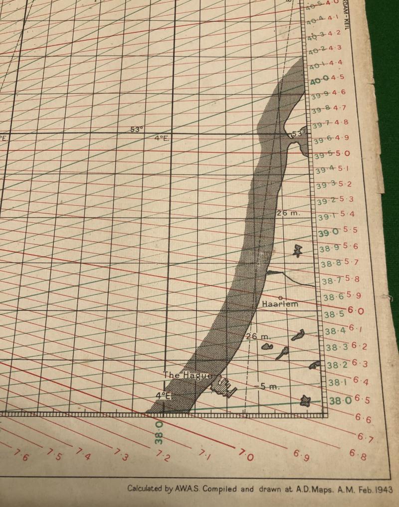
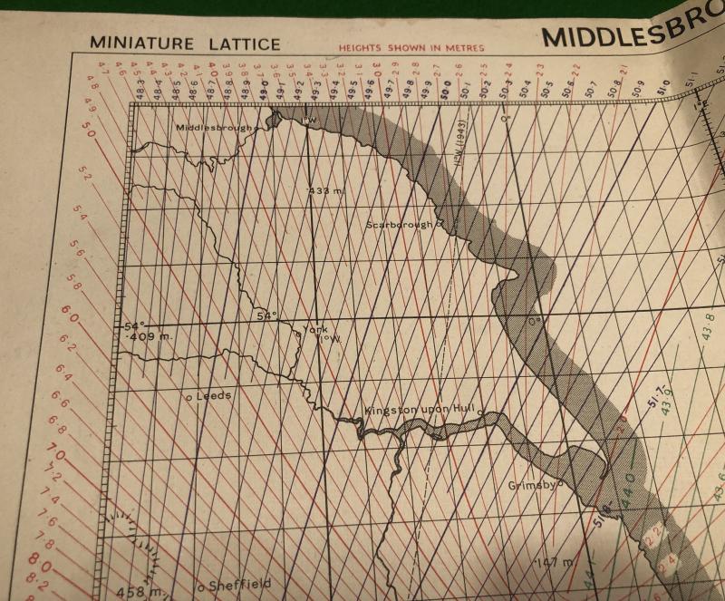
1944 RAF ' Gee ' Map.
Gee was a radio navigation system used by the RAF during WWII. It was the first hyperbolic navigation system to be used operationally, entering service with RAF Bomber Command in 1942. It measured the time delay between two radio signals to produce a fix and accurately plot a position in conjunction with the accompanying chart. This example produced in April 1944, a 2nd edition, showing positions from Middlesbrough to Den Helder. Good, used condition, has been folded. Uncommon.
Code: 9314