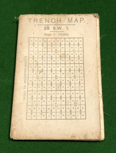
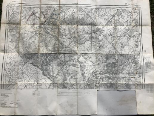
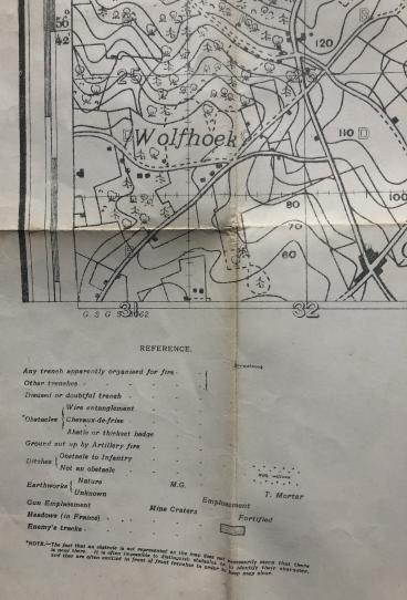
1915 British Trench Map - Poperinghe.
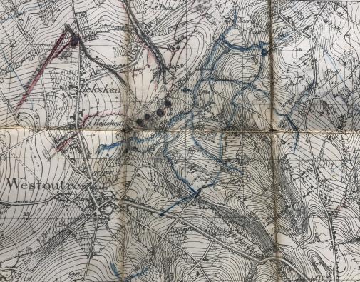
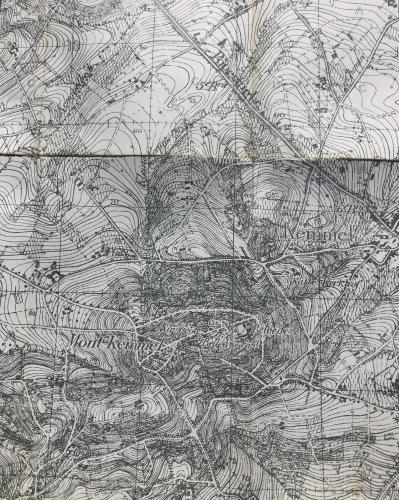
An early British trench map, 1915 dated, 1;10,000, 28 S.W. Sheet 1 Poperinghe showing the area south of the Ypres Salient down to Kemmel. Typical of these early maps, this example was a reprint of existing French and Belgian editions lacking the printed positions etc of later maps. This example has various contemporary pencil annotations that appear to indicate trenches, positions, etc. Good, used condition with various marks etc and one section of the border having been cut out.
Code: 8633
85.00 GBP