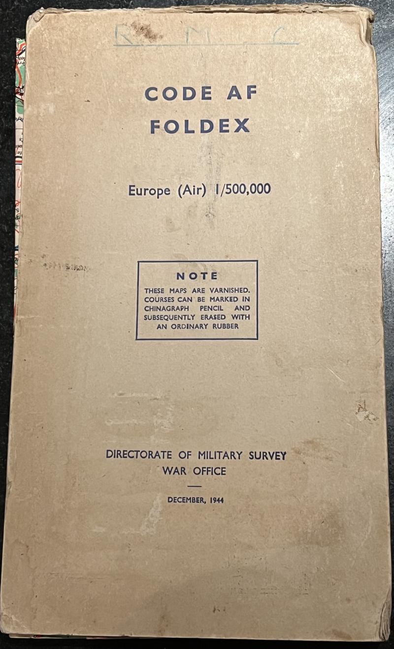
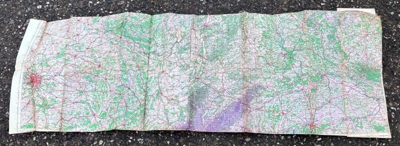
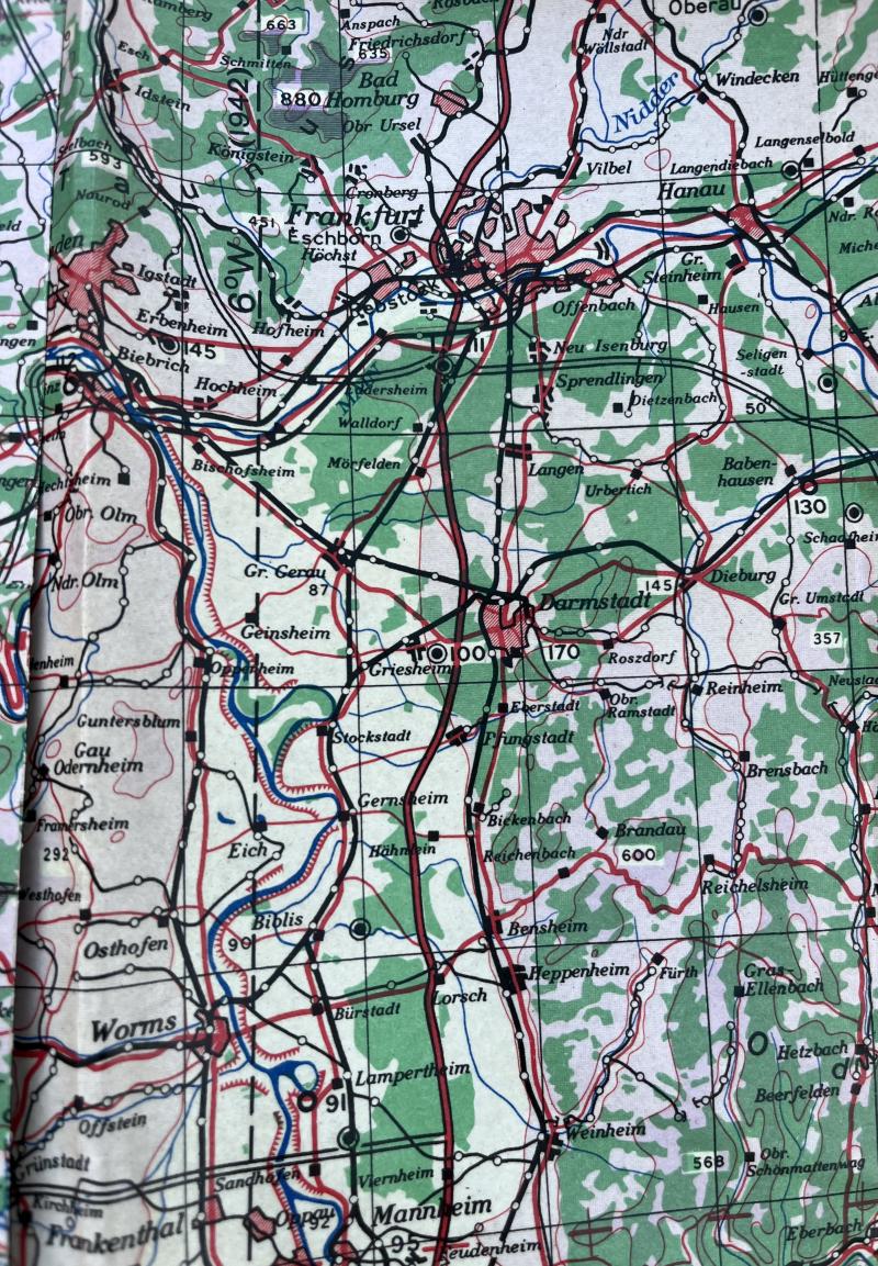
RAF type Foldex map - Europe.
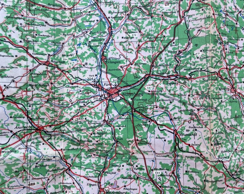
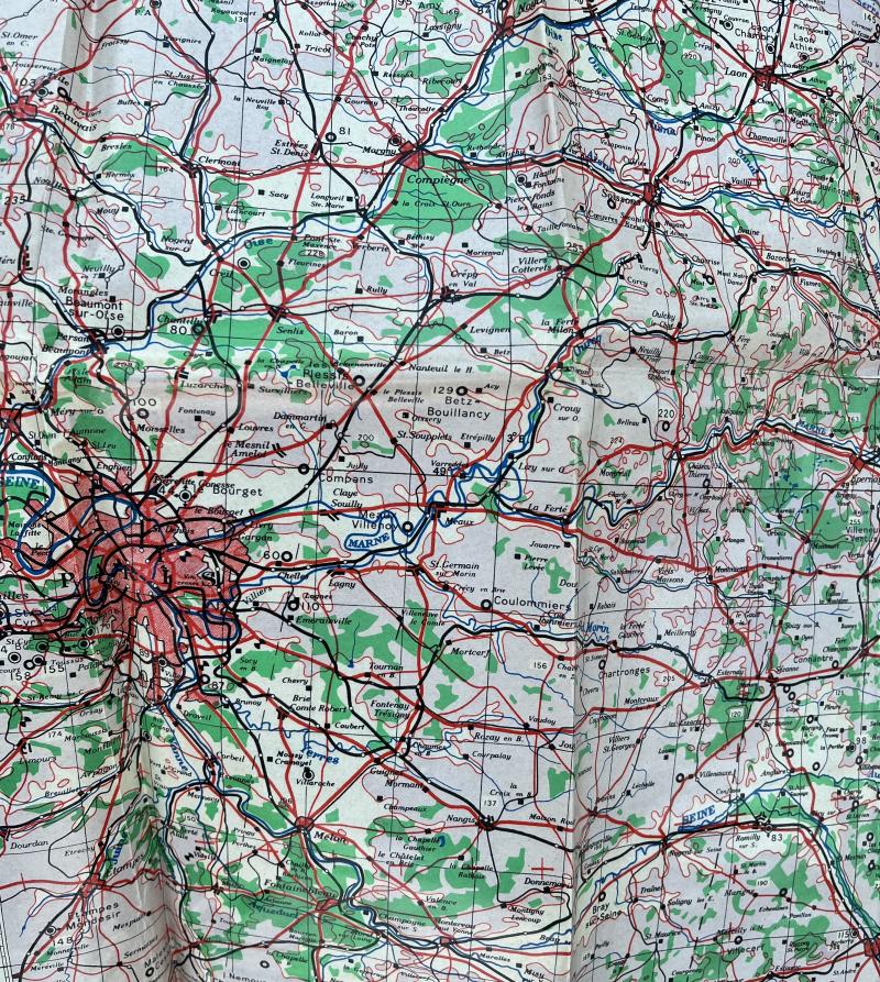
Code AF, Foldex, Europe (Air). 1944, produced by Foldex for the Directorate of Military Survey at the War Office. Large, card bound series of interlinked maps which allowed a navigator to plot a route from Paris in the West to Regensburg in the East. The surface of the maps were varnished so that chinagraph pencil could be used directly to the surface and subsequently erased with an ordinary rubber. Good, used condition.
Code: 10884
65.00 GBP

